Julie Reynolds, Mellon Instructor in Writing & Biology
David Shiffman, Instructor, Biology
Project Description
Julie Reynolds and research associate David Shiffman have compared ArcGIS and Google Earth for undergraduate research projects. ArcGIS is a powerful program, but is very expensive and difficult to learn. Google Earth has fewer analytical tools, but is free and very user friendly. Using data generated by student research projects, David compared the capabilities of both programs.
| Capability | ArcGIS | Google Earth Basic |
|---|---|---|
| Cost | $$$ | free |
| Ease of Use | ++ | |
| Visual Clarity | + | ++ |
| Ability to Customize | ++ | + |
| Computational Power | +++ | + |
ArcGIS is undeniably a more powerful tool, but it has several drawbacks. The expense and difficulty of learning ArcGIS makes it impractical for short-term, small-scale projects. Google Earth, in contrast, is powerful enough for small-scale projects such as undergraduate research projects and large mapping project that do not require quantitative analysis.
These results are being prepared for publication, and will be used to guide future undergraduate research projects.
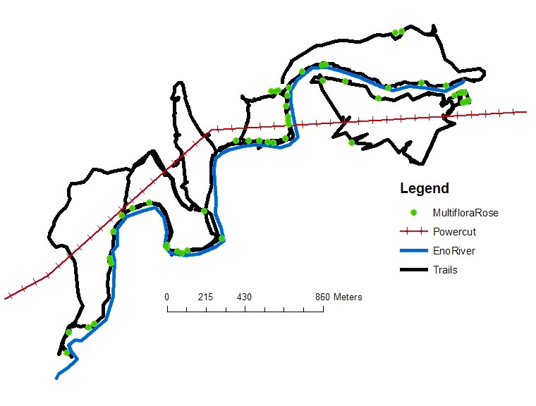
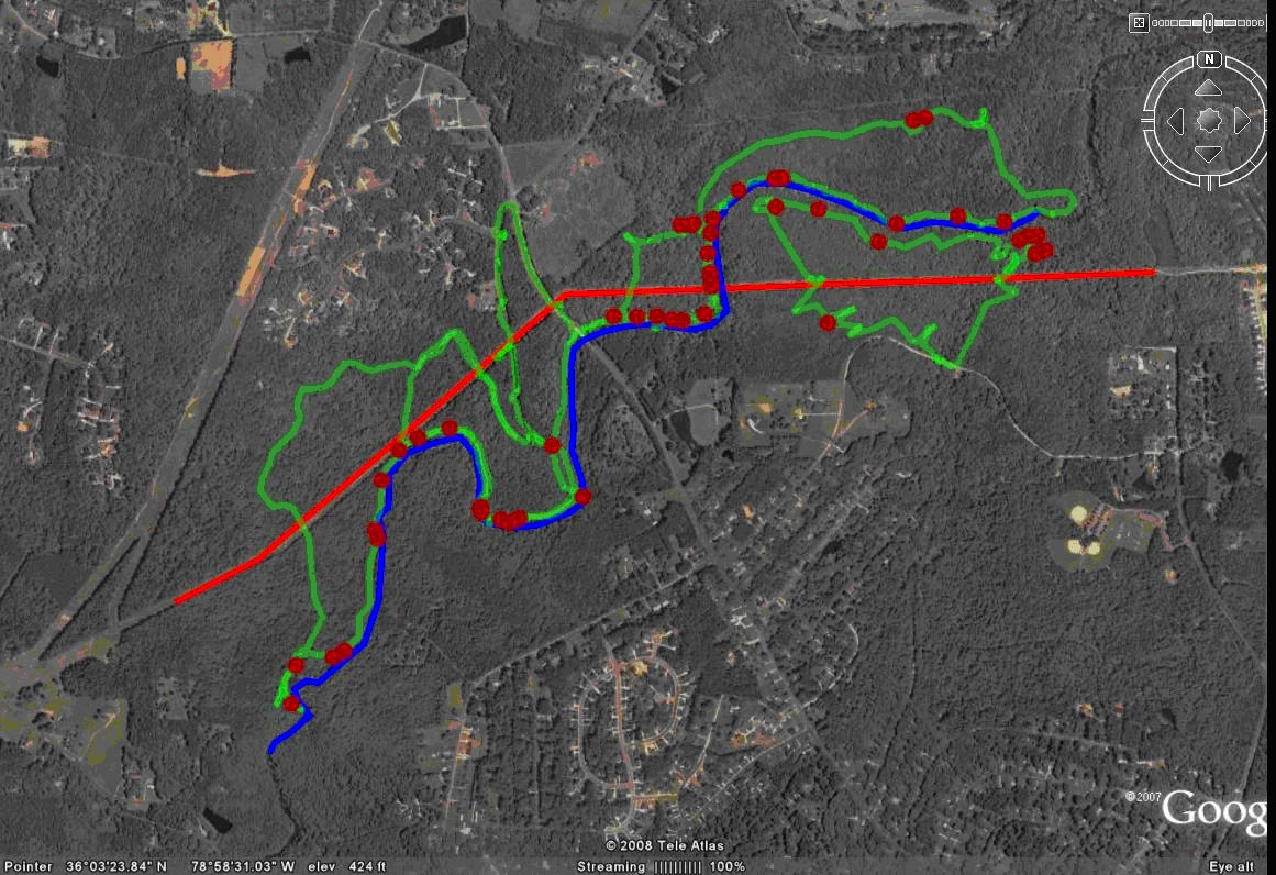
Below, left image was created in ArcGIS, image on the right is the same data in Google Earth.


Project start date: 4/1/2008
Funding awarded: $1800
